















Threat zone hits highest level as destructive tornadoes, impactful flooding threaten the Midwest
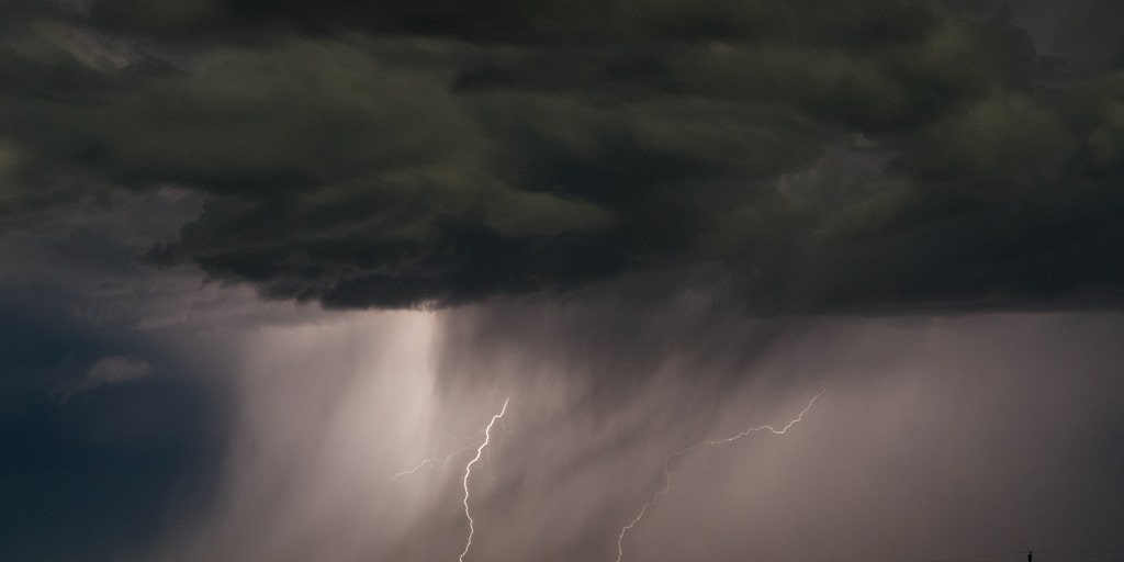


Just on the heels of last week’s severe weather outbreak across the Midwest, the threat of additional severe storms is increasing. Concerns are rising for another potential outbreak on Wednesday, just days after tornadoes, damaging winds, and large hail battered many of these same areas.
Just on the heels of last week’s severe weather outbreak across the Midwest, the threat of additional severe storms is increasing. Concerns are rising about another potential outbreak on Wednesday, just days after tornadoes, damaging winds and large hail battered many of these same areas.
The FOX Forecast Center has issued an Extreme Risk for Wednesday just south of Chicago for portions of northern Illinois and northwestern Indiana for the risk of flash flooding and strong tornadoes.
SEE IT: FIREFIGHTERS USE RESCUE BOATS TO SAVE 15 CAMPERS STRANDED IN FAST-RISING FLOODWATERS
Last week, a severe system unleashed dozens of tornadoes ranging from EF-0 to EF-3 across the region.
Accompanied by destructive straight-line winds, the storms left communities with catastrophic damage, destroying homes, toppling trees and downing power lines that knocked out electricity to thousands of residents.
WIDESPREAD DESTRUCTION: TORNADOES CAUSE CATASTROPHIC DAMAGE IN ILLINOIS AND INDIANA COMMUNITIES
These hard-hit communities have faced a relentless onslaught since the severe season kicked off in March.
WATCH: HEAVY RAIN TRIGGERS DANGEROUS FLASH FLOODING ACROSS TEXAS, PROMPTING MULTIPLE WATER RESCUES
In fact, Illinois has been one of the hardest-hit states this year, leading the nation in tornado reports.
As the potential for another severe weather outbreak takes shape Wednesday, the FOX Forecast Center said intense tornadoes and damaging winds are the biggest risk.
DESTRUCTIVE DERECHO SLAMS MIDWEST WITH INTENSE WINDS, KNOCKING OUT POWER TO OVER 500K HOUSEHOLDS
Ahead of the next system, the Storm Prediction Center has issued a Level 4 out of 5 severe storm threat for Wednesday across north-central Illinois and western Indiana.
Along with that, a Level 3 out of 5 risk spans from Kansas City to St. Louis and northward into Chicago, while a broader Level 2 out of 5 risk blankets a wider zone from Kansas to Louisville, Indianapolis and Columbus.
The FOX Forecast Center said there could be two distinct rounds of severe storms: One in the morning to afternoon hours bringing damaging winds and large hail, followed by a second round as atmospheric conditions rapidly destabilize by Wednesday afternoon.
MAN KILLED BY FALLING TREE IN DES MOINES, IOWA, DURING SEVERE WEATHER OUTBREAK
Wind gusts will likely top 80 mph, and very large hail up to 2.5 inches is possible.
Additionally, with a significant amount of wind shear in place, discrete supercells capable of producing intense, long-track tornadoes are expected to develop initially.
Through the evening hours, these storms will develop into an intense line of severe storms, bringing a widespread threat of destructive, straight-line winds through the region.
The post Threat zone hits highest level as destructive tornadoes, impactful flooding threaten the Midwest appeared first on Fox Weather