









Flash flood threat continues across Florida, Southeast as tropical downpours bring drought relief
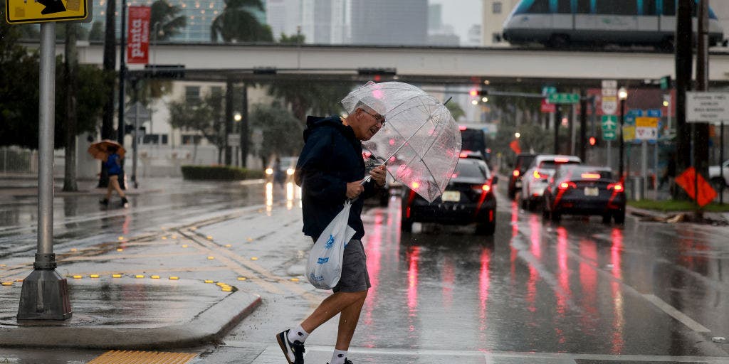


An active weather pattern that has brought a wave of rich tropical moisture across Florida and parts of the Southeast has settled over the region, triggering heavy rainfall and thunderstorms over the next few days.
MIAMI, Flo. — An active weather pattern that has brought a wave of rich tropical moisture across Florida and parts of the Southeast has settled over the region, triggering heavy rainfall and thunderstorms over the next few days.
A broad Level 1 out of 4 flash flood threat stretches across Georgia and South Carolina through Saturday.
Parts of coastal South Carolina and Georgia could see 2 to 3 inches of rain through the weekend and other parts of the region could receive up to 5 inches of rain through next week.
On Sunday, the threat extends from Florida all the way through Tennessee, including Nashville, and up into Missouri.
Miami and Fort Lauderdale were both under a flash flood threat Thursday.
NEARLY 50 RECORD HIGHS SHATTER AS OMEGA BLOCK LOCKS IN A SUMMER SIZZLE ACROSS THE NORTHERN TIER
This comes after the same weather pattern targeted Texas earlier in the week, bringing heavy rainfall, gusty winds and flash flooding that led to numerous water rescues across parts of the state.
According to the FOX Forecast Center, the system has pulled a deep surge of moisture from the Gulf and Atlantic, creating the perfect setup for several days of repeated heavy rainfall.
HOW HIGH PRESSURE AND LOW PRESSURE DRIVE THE WEATHER
On Saturday, the system is expected to intensify as an upper-level low pressure system develops near the Southeast. This will increase moisture along the coast, leading to heavy rainfall in Georgia and the Carolinas as well.
A flash flood threat is expected farther north near Charleston, while some low-lying coastal areas may experience minor localized flooding. Rainfall totals are forecast to exceed 2 to 3 inches in some locations.
Moving into next week, the system will slowly shift south as high pressure builds in from the north. However, with deep tropical moisture remaining stalled across the Gulf, additional rounds of heavy rain are expected to focus directly across Central and South Florida, as well as the immediate Gulf and Atlantic coasts.
TROPICAL DEVELOPMENT CHANCES RISING IN THE EASTERN PACIFIC AHEAD OF EARLY JUNE
While saturated soils from last week's precipitation increase the risk of more flash flooding, storms will help provide drought relief, particularly for Florida, where many municipalities remain 5 to 14 inches below their average rainfall since last August.
Stay with FOX Weather for the latest updates on this developing system.
The post Flash flood threat continues across Florida, Southeast as tropical downpours bring drought relief appeared first on Fox Weather