









Potentially strong tornadoes, damaging winds target the Central US, Southern Plains
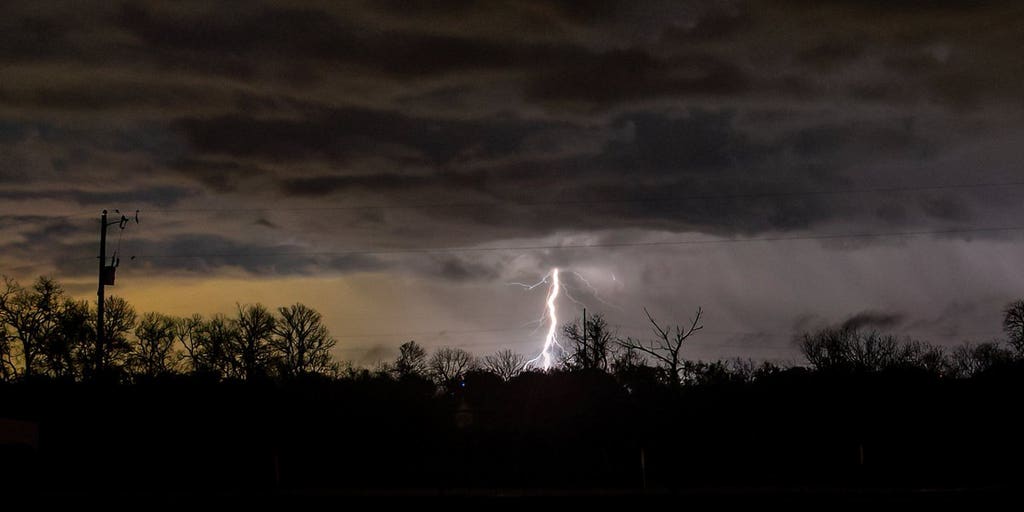

It has been an active week across the Rockies, as a multiday severe weather threat continues to be fueled by the collision of atmospheric conditions, now shifting to the Central and Southern Plains.
It has been an active week across the Rockies, with days of severe weather bringing threats of large hail, damaging winds, and tornadoes that are now shifting into the Central and Southern Plains.
The primary source behind the multiday threat is a collision of atmospheric ingredients.
EXTREME HEAT TO GRIP THE PACIFIC SOUTHWEST WITH MILLIONS AT RISK OF TRIPLE-DIGIT TEMPERATURES
Hot, humid air pushing northward from the Gulf of America is providing plenty of moisture, while fast, energetic winds blowing overhead from west to east across the mountains are creating the spin needed to organize clouds into intense, rotating storms, according to the FOX Forecast Center.
Damaging wind gusts and very large hail have plagued the region since Monday, with wind gusts over 100 mph and hail stones over 3 inches reported.
EXTREME HEAT TO GRIP THE PACIFIC SOUTHWEST WITH MILLIONS AT RISK OF TRIPLE-DIGIT TEMPERATURES
In fact, the fierce winds took down a traffic light in Oklahoma City.
SAHARAN DUST SETTLES OVER HURRICANE BREEDING GROUNDS. HERE'S WHAT IT MEANS FOR HURRICANE SEASON.
On Thursday, the energy will start to shift out of the Rockies and focus more on the Southern Plains.
An ongoing cluster of thunderstorms is expected to move through Oklahoma, Kansas, and the Ozarks Thursday morning.
As this clears out into the afternoon, instability will grow once again with development centered around any remnant outflow from storms and the cold front from southern Kansas into northern Oklahoma.
3 PEOPLE SUFFER HEAT-RELATED DEATHS IN A WEEK'S SPAN WHILE HIKING GRAND CANYON TRAIL
According to the FOX Forecast Center, supercells that develop will be capable of tornadoes, a few of which could be strong. Other threats include damaging winds and large hail.
This is where a Level 2 out of 5 severe storm threat is present into the afternoon and overnight.
Meanwhile, supercells across the High Plains will mostly be capable of large hail and damaging winds.
By Friday, the threat dissipates with a Level 1 out of 5 severe storm threat stretching from the Rockies down into the Central and Southern Plains for the afternoon, where a few severe storms will be possible once again.
The post Potentially strong tornadoes, damaging winds target the Central US, Southern Plains appeared first on Fox Weather